
Lidar is a technology based on optical principles that uses laser beams to scan in space and obtain information about the location and altitude of targets. In terms of hydrological monitoring, lidar can quickly and efficiently obtain geomorphological information of rivers, reservoirs, lakes and other waters, providing important technical support for water resources management, flood control, water control and other fields.

Application of LiDAR in Hydrological Monitoring:
Water geomorphological survey: LiDAR can be used to obtain water geomorphological information quickly and with high precision, and high-resolution 3D models of water landforms such as rivers, reservoirs, and lakes can be obtained. Through the establishment of 3D models and the geomorphological measurement of waters, information such as water depth, water surface elevation, topographic undulation and flow velocity can be understood.
Flood warning: LiDAR can quickly obtain high-precision terrain information, and combined with water level sensors and rainfall monitoring, real-time monitoring and prediction of water level, water depth, water flow speed and other parameters in various parts of the water, providing a scientific basis for flood control and flood warning.
Water volume calculation: Through high-precision measurement of water surface landform, the water volume of water can be calculated by combining equipment data such as water level gauge and flow velocity meter; It can also detect changes in water volume and provide technical support for water management.
River ecological protection: The rapid measurement capability of lidar can obtain detailed information such as vegetation and tree coverage along the river, and provide strong technical support for river environmental monitoring and ecological protection.
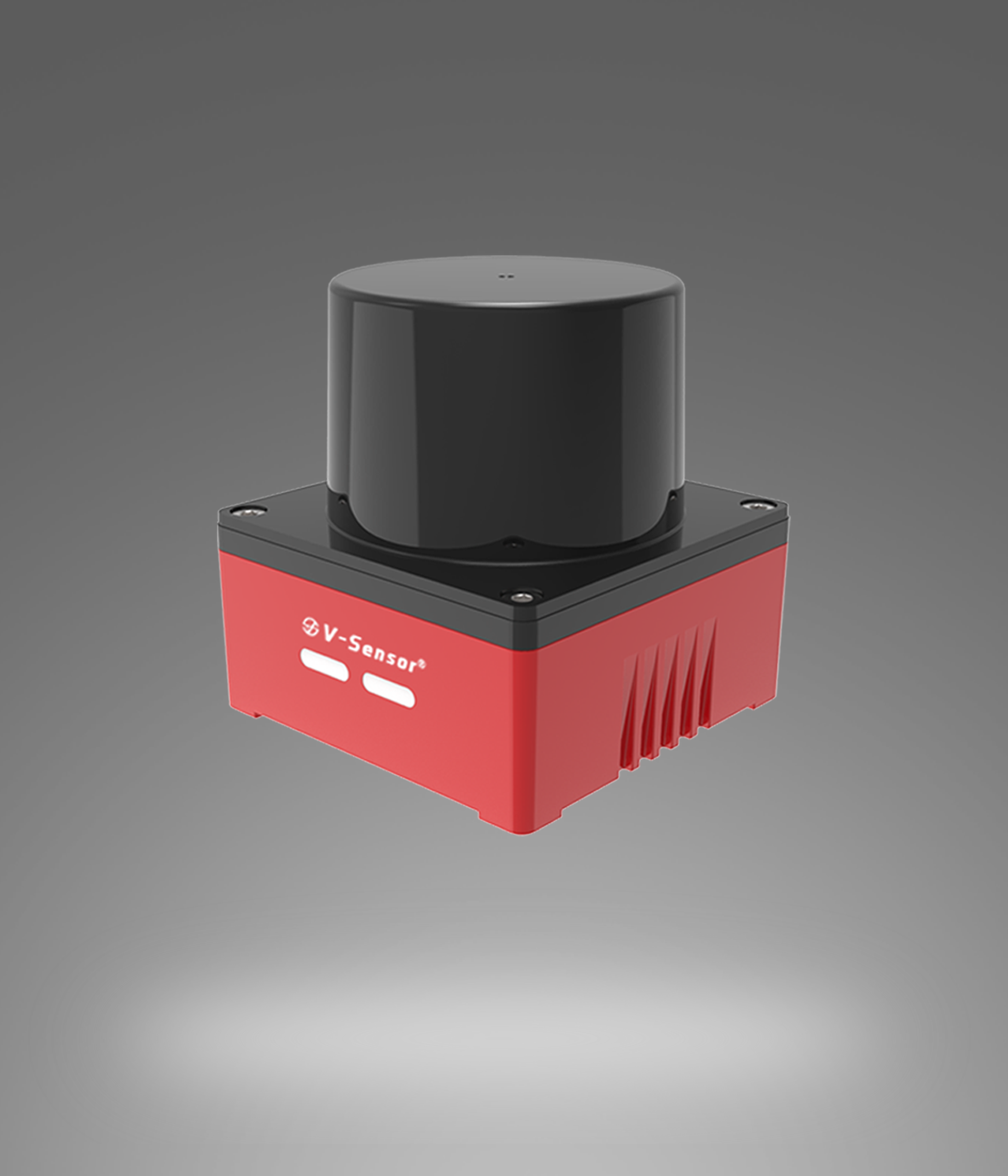
Siman Recommended Model:

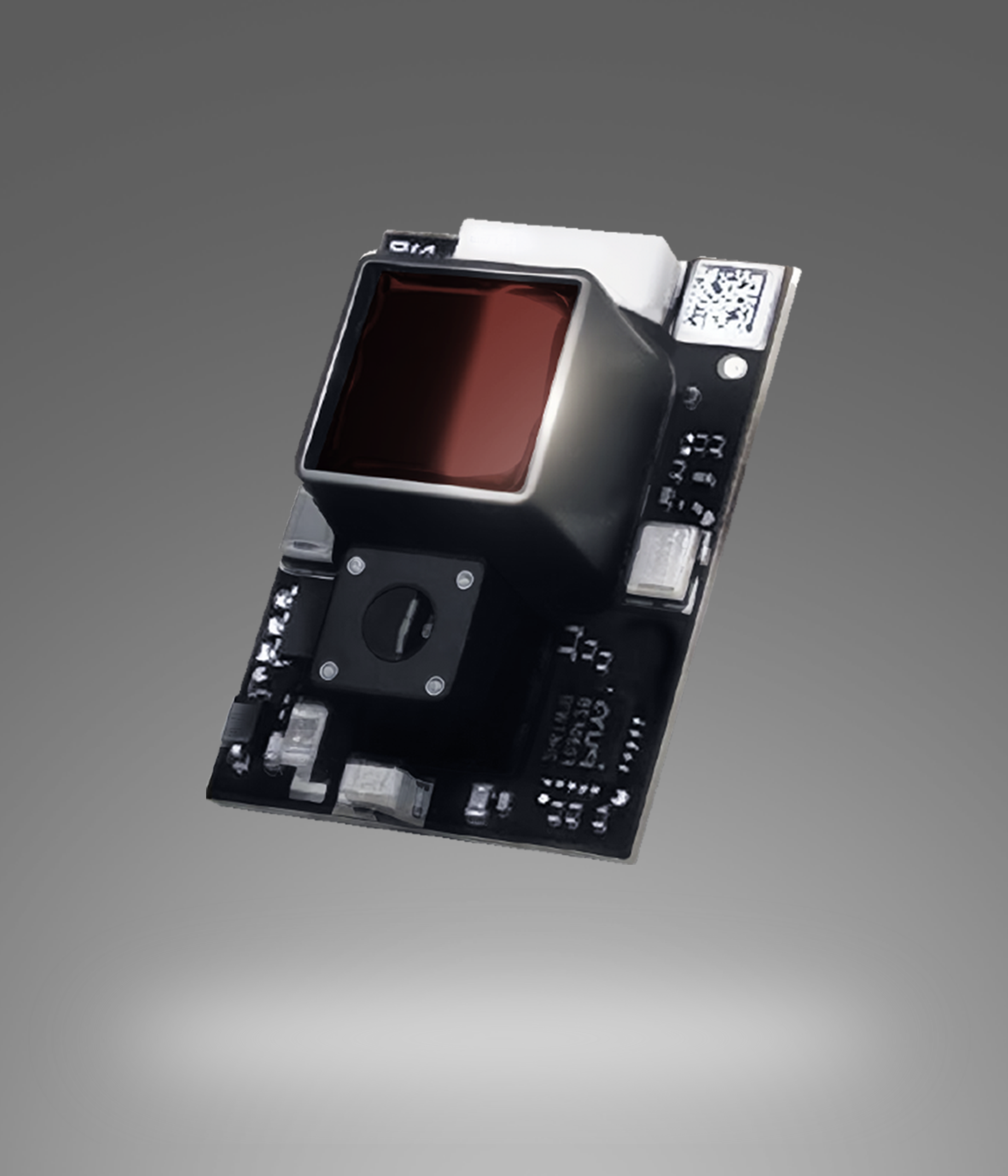
SDC series laser distance sensor corresponding to the application technology advantages:
First of all, under strong outdoor light, it can measure up to 100m, which means that ponds and rivers can be measured quickly and accurately. Secondly, the high-precision resolution of 1mm and 0.1mm can provide accurate measurement data for real-time monitoring and recording of hydrological monitoring information such as water level, water depth, and water flow velocity.
In addition, the fast 100Hz measurement speed means that higher data acquisition frequencies can be carried out to accommodate faster environmental changes.
The SDC series laser distance sensors also have high stability and industrial-grade IP67 protection, which can withstand the harsh conditions of the hydrological monitoring environment, such as rain, fog or other adverse weather.
Finally, it has a rich set of output interfaces that can interface and integrate with a wide range of data logging devices.
In summary,SDC series laser ranging sensor can provide users with efficient, accurate and stable data acquisition and monitoring services in the field of hydrological monitoring, which greatly improves the ability of hydrological early warning and defense.
Application Scenarios:

Hydrological monitoring, water level measurement station, dam reservoir detection, lake sea surface water level detection, river water level monitoring, rainfall water level monitoring, storage material level detection, automobile fuel level detection,Well water level detection, liquid level alarm system, liquid level calibration system, etc.
Business Manager: Manager Jiang
Tel:13391208082
E-mail:13391208082@163.com

Business Manager: Manager Li
Tel:18737118612
E-mail:18737118612@163.com
Business Manager: Manager Lv
Tel:15238312802
E-mail:15238312802@163.com

Business Manager: Manager Wang
Tel:15238360758
E-mail:15238360758@163.com

Copyright © 2024 Siman Sensor Technology Co., Ltd. 豫ICP备2024098333号